top of page
CERTIFIED AUTHORITY
FAA PART 107
INSURED
FAA PART 141

FAA COMPLIANT • DIGITAL PRECISION • FAA COMPLIANT • DIGITAL PRECISION • FAA COMPLIANT • DIGITAL PRECISION •
OUR SERVICES


TECHNICAL PRECISION
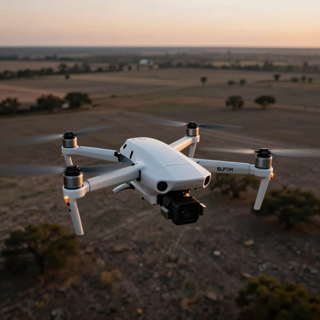
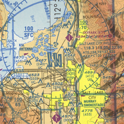
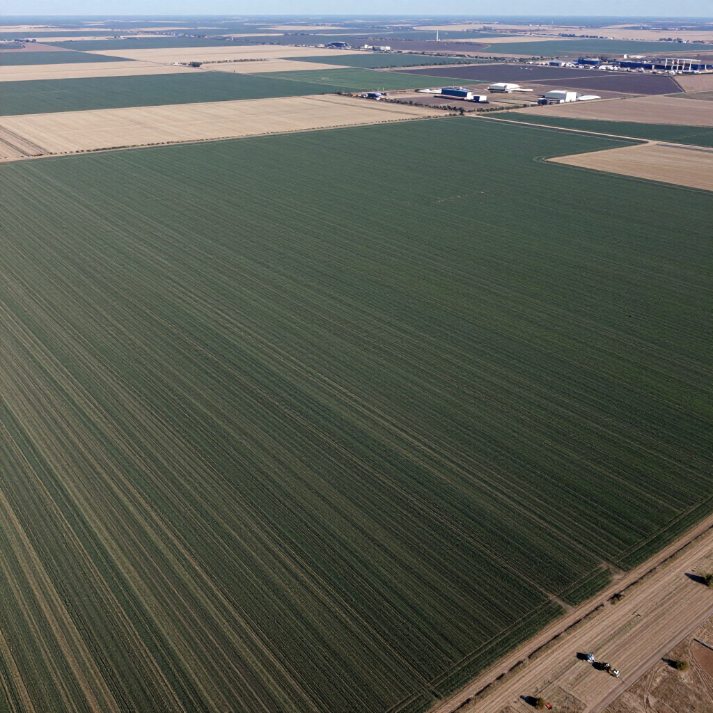
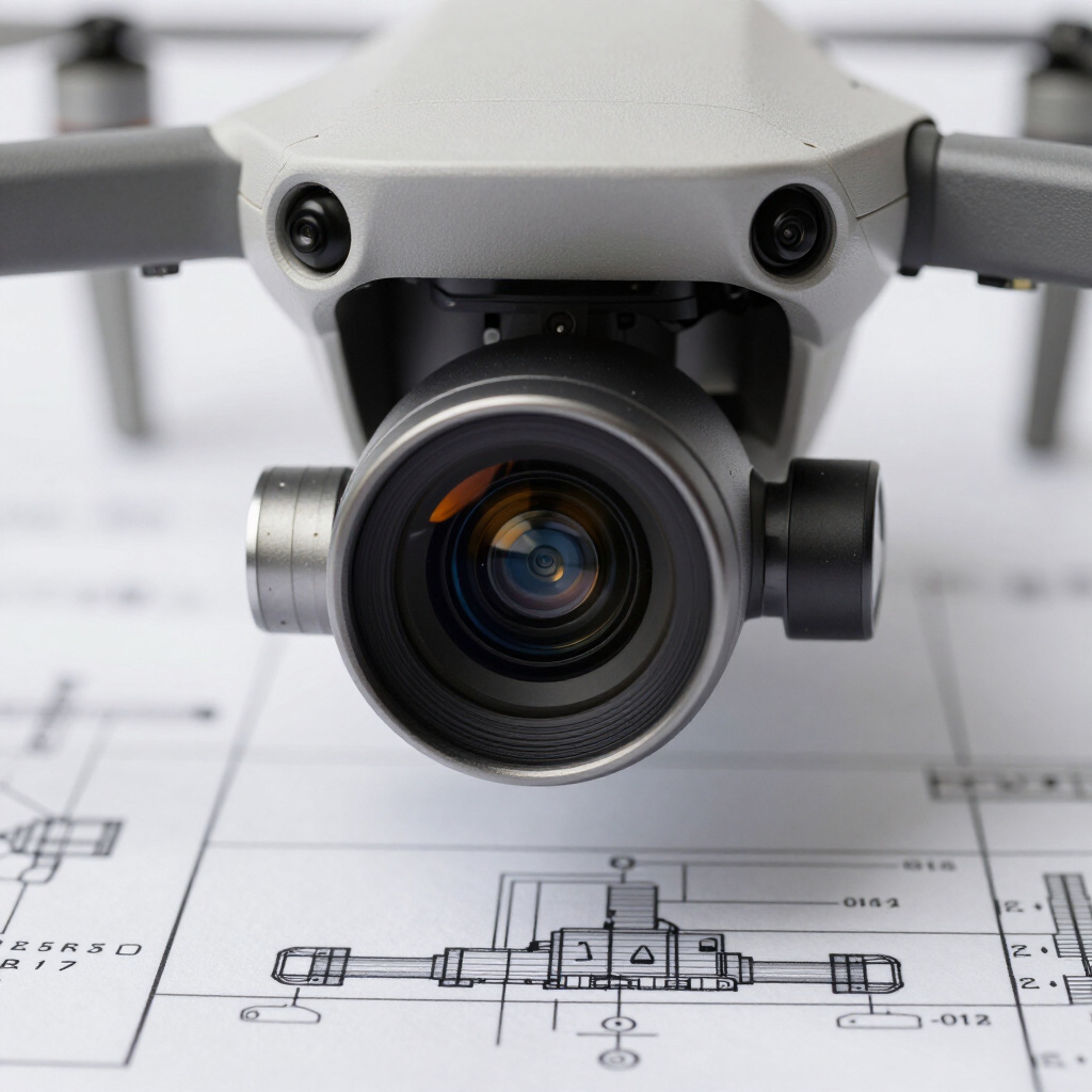
High-resolution aerial imagery and digital mapping projects showcasing technical expertise and precision.




PRECISION ENGINEERING
Based in Wise County, Texas and always up for traveling, we offer high‑precision drone imaging, photogrammetry, race and event coverage, industrial troubleshooting, and a problem‑solving mindset that’s focused on finding more solutions than problems.

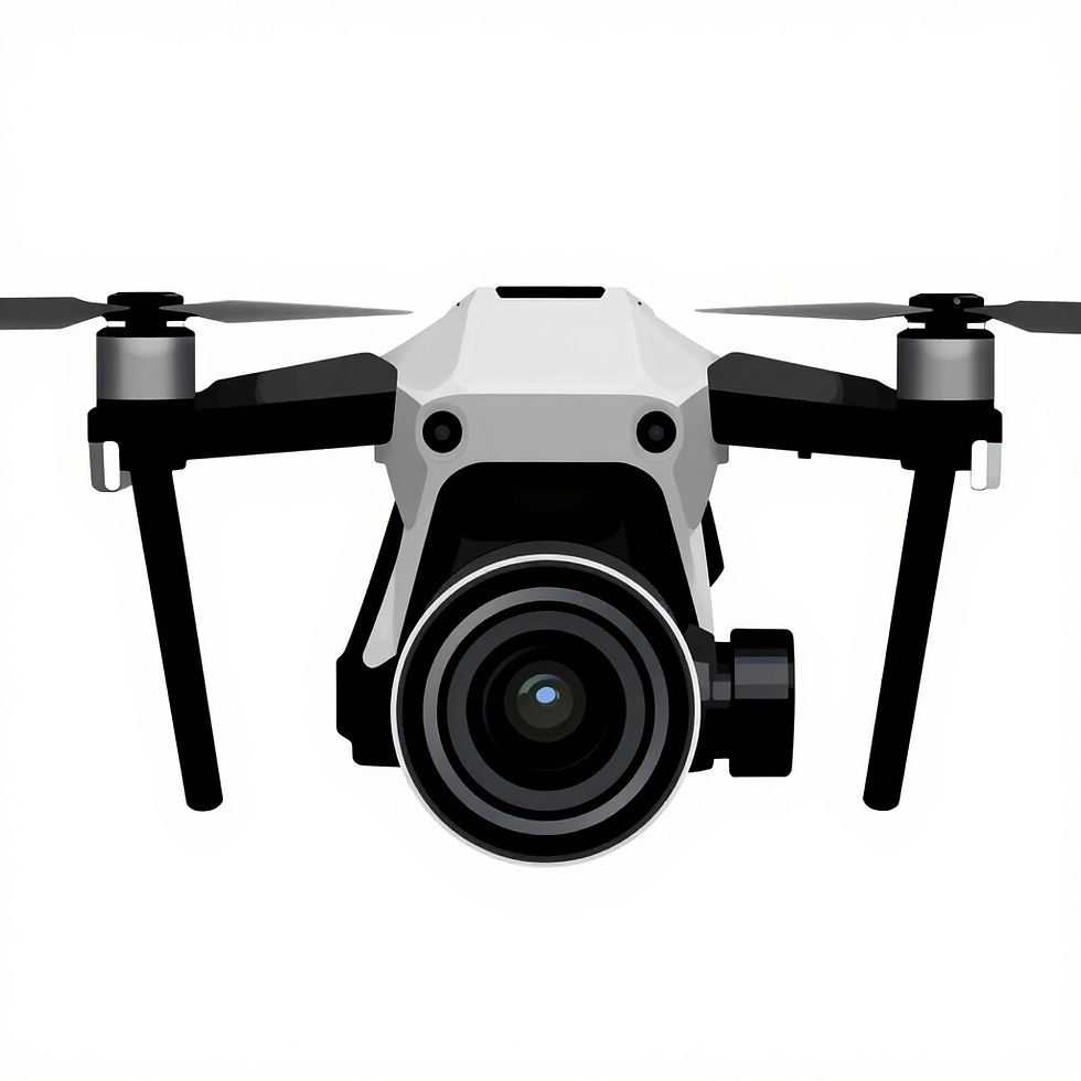
DRONE PHOTOGRAPHY

DIGITAL MAPPING

FLIGHT OPERATIONS
bottom of page